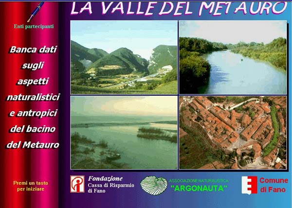
The Metauro river basin
Most of the Metauro river basin extends within the province of Pesaro and Urbino (Marche, Italy); only a fraction of its northern section is in Umbria and Toscana (Italy). Its area covers 1400 Km2.
The basin can be divided in :
- a low and medium sub-Apennines section, from the Adriatic sea to the Rio Puto and T. Tarugo, tributary streams, with hills that reach the coastal area, where a flood plain widens on the shore and merges with the adjacent plain created by the T. Arzilla (a small stream);
-
- a high sub-Apennines section, from Rio Puto and T. Tarugo to the Cagli – S.Angelo in Vado line, with mountains up to 1000 m., hills, and valley bottom areas;
-
- an Apennines section, from the Cagli-S. Angelo in Vado line until the watershed with the Tiber river, which contains mountains up to 1700 m, hills and valley bottom areas.
Contents:
The studied area
The area object of the Database describes the whole of the river Metauro basin as concerns its natural characteristics (earth sciences, flora, fauna, historical documents on natural environments), the anthropic features of the territory of the 16 municipalities contained in the basin, between the Furlo mounts and the sea, the areas of environmental interest and the itineraries. The Municipalities are: Barchi, Cartoceto, Fano, Fossombrone, Isola del Piano, Mondavio, Montefelcino, Montemaggiore al Metauro, Orciano di Pesaro, Pergola, Piagge, Saltara, San Costanzo, San Giorgio di Pesaro, Sant'Ippolito, Serrungarina.

|
|
Earth Sciences
Climatic conditions
Geology
Geomorphology
Paleontology
Sysmology
"Il Bacino del Metauro" by R. Selli
Flora (vascular plants)
Herbs growing in humid environments or riparial woods
Trees and shrubs
Mushrooms
Ascomycetes
Basidiomycetes
Fauna
Freshwater Molluscs
Decapode Crustaceous
Odonates
Aquatic hemiptera
Aquatic coleoptera
Freshwater and brackish water fish
Amphibians
Reptiles
Birds
Mammals
"Reproduction of the "Little Ringed Plover" (Charadrius dubius) by V.Dionisi
Significant natural environments
Nature sanctuaries
Astronomical observation sites and light pollution
"Flora e fauna dello stagno Urbani - primi contributi" by L.Poggiani et al.
"Flora e vegetazione dei Monti del Furlo" by L.Gubellini
Environmental Education Centres
Museum and Aquarium at the "Laboratorio di Biologia Marina" (Laboratory of Fishery and Marine Biology)
Environmental Education Centre "Casa Archilei "
Open-air Laboratory at Stagno Urbani (a pond near Fano)
Learning Centre "Laboratorio didattico Monti del Furlo e delle Cesane"
Casa I Fabbri – University in the woods
Natural and Scientific Collections
Historical Documents on Environment and Fauna
Historical Documents on coastal areas
Historical Documents on the local fauna
Anthropic geography
Distribution of the population
Population Movements
Characteristics of the Population
Productive Activities
Water and Land Communication Ways
Toponomastic
Archaelogy and History
Pre-roman Archaeology
Roman Archaeology
Historical Cartography
Historical and Architectural elements
Historical Church-organs
Churches and Abbeys
Aediculae and Crosses
Palaces
Villas and Mansions
Fortresses
Theatres
Museums
Sundials
Rural Buildings
Country Houses and Farms
Catalogue of castles before the XIII century
Dialects, Lifestyle and Folklore
Dialects
Religious anthropology
Festivals, Games and Folklore Celebrations
Working Activities
A collection: "Cultura materiale del nostro passato" ("Material culture of our past")
Traditional Cooking Recipes
Water-related structures
Ancient Bridges, Fordings and Ferries
Water Mills
Hydroelectric Plants
Historical Aqueducts, Springs, Fountains and Wash-tubs
Structures for Drinkable water Storage and Treatment
Fano Channel Port
Territorial planning
Regional planning
Sub-regional planning
Municipalities
Barchi
Cartoceto
Fano
Fossombrone
Isola del Piano
Mondavio
Montefelcino
Montemaggiore al Metauro
Orciano di Pesaro
Pergola
Piagge
Saltara
San Costanzo
San Giorgio di Pesaro
Sant'Ippolito
Serrungarina
Itineraries
Metauro river mouth
Fano: historical – artistic itineraries
Metauro river, from Madonna Ponte to Cerbara
Stagno Urbani (Pond)
Monte Giove Hills
S.Angelo and Ferriano Hills
San Costanzo Hills
Cartoceto Hills
Metauro river, from Calcinelli to Tavernelle
Meaturo river, from Tavernelle to Fossombrone
Rio Puto (Stream)
Torrente Tarugo (Stream)
Cesane Mountains
Metauro river, from Fossombrone to Calmazzo
Metauro river from Calmazzo to Ponte delle Piangole
Candigliano from Calmazzo to Furlo
Furlo Gorge
Mount Pietralata
Mount Paganuccio
The Flaminian Way from Fano to Pontericcioli
The "Via Romea della Marca"
|
|
|
|
|

|